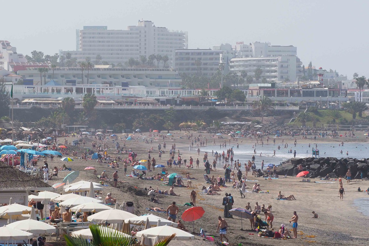
The average temperature during the month of February in the Canary Islands was 13.9ºC, a value that represents an anomaly of -1.0ºC above the average of the baseline data and, therefore, can be considered as a cold month. In fact, these values convert this year’s February into the seventeenth coldest February since 1961.
The average accumulated rainfall value was 39.3 mm which corresponds to 105 % of the average precipitation expected for a month of February, according to the baseline data. It was the 29th most humid February since 1961.
Sunshine was 7 percent above the 1991-2020 average. It was the eleventh February with the most hours of sunshine since 1983.
The average temperature in the archipelago remained below the average temperature of the baseline data for almost the entire month, with the exception of the 26th and 27th, when the temperature reached the value of the average of the baseline data, and the 28th, when it exceeded it by approximately 1ºC. Although the maximum temperatures remained relatively low, the minimum temperatures fell more noticeably.
During the first days of the month, until the 9th, the mean temperature remained about 2ºC below the mean temperature of the baseline data. During the period indicated, there was a small rise on days 2 and 3, when an easterly flow was established, with an episode of calima on days 1 and 2. The subsequent fall, from day 4 onwards, was caused by an isolated depression at high levels referred to as DANA, which moved from the northwest towards the northeast of the Canary Islands during those days, causing a cold front over the islands.
There was an episode of calima on the 8th. From the 10th onwards, the presence of a low-pressure centre to the southwest of the archipelago established a southerly flow over the archipelago, raising temperatures relatively high until the 13th and generating the largest episode of calima of the month, from the 11th through 14th. A total of three episodes of calima were recorded during the month, on the 1st and 2nd, the 8th and between the 11th and 14th.

From the 14th onwards, the approach to the Canary Islands of the southern end of an Atlantic trough, with an associated front, established a northerly flow that caused a new drop in temperatures, reaching, on the 16th, the minimum average temperature of the month. From that day onwards, temperatures rose until the 21st, made possible by a stronger easterly flow.
Between the 21st and 25th, the presence, north of the Canary Islands, of another trough, together with the strengthening of the Atlantic anticyclone (centred, during the aforementioned days, over the Azores), together with a small centre of low pressure moving from south to north along the west coast of Africa, generated a northerly flow that caused a drop in temperatures, although much less marked than those recorded in the first half of the month.
The thermal behaviour of the month ended with a ‘barometric swamp’ situation during the last three days of the month, and an almost zonal circulation, which caused thermal rises due to advection but also due to greater insolation.
The accumulated rainfall in the Canary Islands during the month of February was slightly above the expected average value. Although the highest absolute volumes of precipitation were measured in areas in the north, northeast and northwest of Tenerife, as well as in the north, summits and east of Gran Canaria, the southern area of Tenerife, the east of Gran Canaria and Fuerteventura, as well as the north of Lanzarote, also stood out in terms of relative values.


