



The Canary Islands are set to face more variable weather this Friday, with calima at high altitudes, cloudy intervals, rising temperatures and the possibility of isolated thunderstorms and light rain in some areas.
According to the State Meteorological Agency Aemet, the day will begin with high cloud over several islands, while low cloud will affect parts of the northern coasts, especially during the early hours of the morning.
Conditions are expected to become more unsettled during the second half of the day. As cloud develops inland, isolated thunderstorms and light rainfall cannot be ruled out, particularly in inland areas of the islands.
The likelihood of rain remains low, and any rainfall that does occur is expected to be generally light and scattered. However, the forecast points to a more changeable pattern than in previous days, with afternoon cloud formation playing a key role.
Temperatures will rise slightly across the archipelago. Tenerife may reach 31°C, while parts of Gran Canaria and Fuerteventura could see values of between 30°C and 32°C. El Hierro will record the lowest minimum temperature, with 17°C expected in Valverde.
Wind will also be one of the main features of the day. It will blow from the north or north-east at moderate strength, but during the afternoon it may become stronger in the south-eastern and western areas of several islands. Aemet does not rule out locally very strong gusts.
Calima and cloud over the archipelago
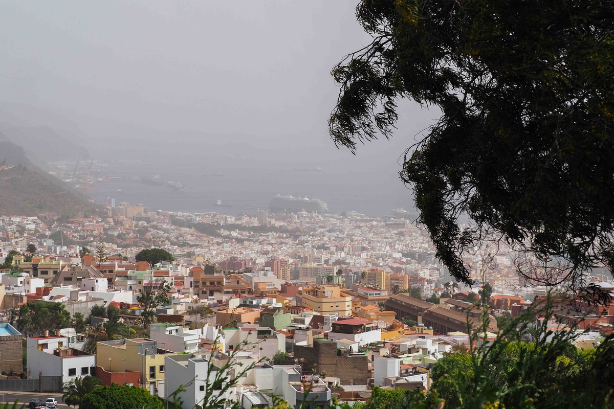
Calima will be present at high altitudes across much of the Canary Islands this Friday. High cloud is expected in Lanzarote, Fuerteventura, Gran Canaria and Tenerife. At the same time, northern coastal areas will see periods of low cloud, particularly early in the day.
Inland areas will be more affected during the afternoon, when cumuliform clouds may develop. These clouds could bring some light and isolated rain, especially away from the coast.
In Tenerife, Aemet forecasts high cloud, together with low cloud in the north during the early hours. Inland areas of the island may see light showers during the afternoon, although any rainfall is expected to be limited.
The combination of high-altitude haze, cloud development and warm temperatures will create a mixed weather picture across the islands, with clearer spells in some areas and more unstable conditions in others.
Temperatures by island
In Tenerife, Santa Cruz de Tenerife is expected to see temperatures between 23°C and 31°C. Values may reach around 30°C in low-lying areas of the south and in parts of the metropolitan area.
In La Gomera, San Sebastián de La Gomera will range between 24°C and 29°C. Temperatures could reach 30°C in south-facing mid-altitude areas.In La Palma, Santa Cruz de La Palma is forecast to record temperatures between 20°C and 29°C.
El Hierro will see the coolest conditions among the islands, with Valverde expected to range between 17°C and 21°C.

In Gran Canaria, Las Palmas de Gran Canaria will see temperatures between 24°C and 27°C. However, warmer conditions are expected elsewhere on the island, with values of 30°C to 32°C possible in southern mid-altitude areas and on the peaks.
In Fuerteventura, Puerto del Rosario will range between 23°C and 28°C, while temperatures could reach 30°C to 32°C in the south-east of the island. In Lanzarote, Arrecife is expected to see temperatures between 23°C and 30°C. Aemet does not rule out values of around 30°C in the south-east.
Strong winds in exposed areas
The wind will blow mainly from the north or north-east and will generally be moderate. However, it is expected to gain strength during the afternoon in several areas of the archipelago.
In Gran Canaria, strong gusts are expected in low-lying areas of the south-east and in the far west. In Tenerife, the wind could intensify on the southern slopes of the Anaga massif.
Strong gusts are also forecast in parts of Lanzarote, Fuerteventura, La Gomera and El Hierro. In La Palma, the most affected areas will be the south-eastern and north-western coasts.
Aemet also warns that locally very strong gusts cannot be ruled out in some of these exposed areas.
At sea, north or north-easterly winds of force 3 to 5 are expected. Sea conditions will range from slight swell to moderate swell, with a north-easterly swell of one to two metres.
Overall, Friday will bring a more unstable weather pattern to the Canary Islands, with high-altitude calima, warm temperatures, isolated showers or thunderstorms and stronger winds in exposed areas.