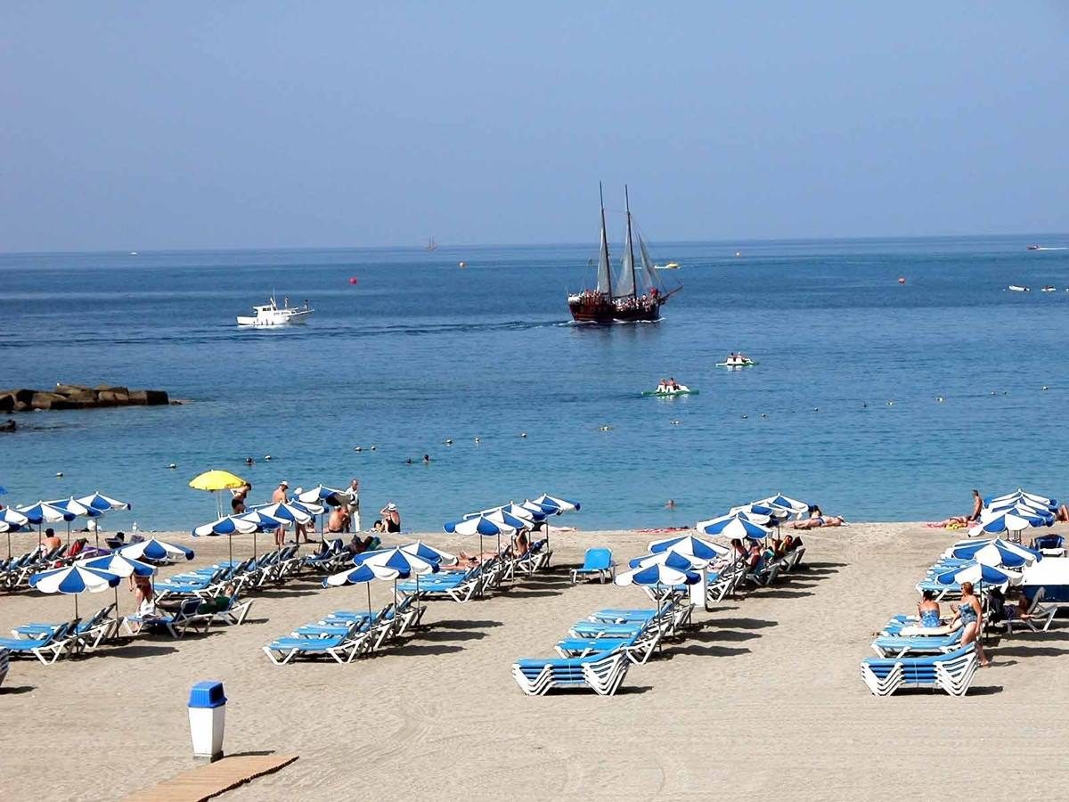
The heat in the Canary Islands will not give a break this week, according to the State Meteorological Agency (AEMET). Temperatures on the islands will continue to rise, with a dry and stable atmosphere throughout the archipelago. From Wednesday onwards, an inrush of desert mineral dust is expected, which could affect visibility in some areas.
Temperature variations will be noticeable over the next few days, especially in the southern interior of Tenerife and Fuerteventura, where temperatures could exceed 32ºC on Thursday. In addition, in the southern interior and west of Gran Canaria, temperatures are forecast to reach 34ºC, which increases the heat alert in the Canary Islands.
Therefore, it is recommended to take extreme precautions and stay hydrated during these days, as high temperatures can be dangerous to health. It is also advisable to avoid exposure to the sun in the central hours of the day and to protect yourself adequately if you do any outdoor activity.
HEATWAVE IN THE CANARY ISLANDS: THE MODERATE WEATHER FOR TOMORROW, TUESDAY
Tomorrow, Tuesday, there will be another hot day in the Canary Islands, with clear skies and probable light haze at altitude in the western islands, easing in the afternoon. Temperatures will remain unchanged, tending to fall in the western islands and to rise in the eastern islands.
The northeasterly wind will blow with moderate intensity but with strong intervals in inland areas of Fuerteventura and Lanzarote, and in the midlands and northwest and southeast slopes of the other islands.
And, as the AEMET had already predicted, in the middle of this week, if the forecasts come true, “we could be facing a truly anomalous situation” with temperatures of more than 30 degrees in parts of the east and south of the peninsula, as well as in the Canary Islands.
In a thread on its Twitter account, the AEMET has pointed out this possibility and adds that these temperatures are “very inappropriate for the end of March”, with daytime values between 10 and 15 degrees above the normal average in large parts of the country on Wednesday 29 and Thursday 30.
In most parts of the country, maximum temperatures will be “above the 95th percentile, i.e. in the top 5% of the warmest on record for this time of year”.
The Extreme Forecast Index (EFI) also reflects this situation and using it to analyse the average temperature (average of the maximum and minimum) forecast between Tuesday 28 and Thursday 30, “it is concluded that these will be very unusual values due to their warm nature for the season”.
The AEMET warns that “in many cases”, these will be temperatures typical of June with a “practically summery atmosphere” which, in addition, will be accompanied by cloudy skies and little rainfall.
Thus, a “very dry” first quarter of 2023 will be completed. In a large part of the centre, east and south of the Peninsula “we will close it with accumulated rainfall less than half its normal average, and even less than a quarter in areas of the east and south,” indicates the AEMET.
This dry and hot environment in the Canary Islands – it warns – results in a serious risk of fires which, despite still being a long way from summer, “is already reaching very high or extreme values in certain areas of the country”.
It is therefore necessary to take extreme precautions and avoid carrying out activities during this period of heat in the Canary Islands that could lead to fires in the forest environments of the islands.


