




Aemet announces the return of calima to the Canary Islands: areas affected

Calima will return to the Canary Islands, mainly affecting mid-altitude areas and peaks, while inland temperatures rise and winds strengthen in exposed areas.
Calima will return to the Canary Islands, mainly affecting mid-altitude areas and peaks, while inland temperatures rise and winds strengthen in exposed areas.

Rain will affect the north and north-east of the higher Canary Islands, with persistent showers in parts of La Palma and strong gusts in exposed areas of Tenerife.

Sunday will bring unsettled weather to parts of the Canary Islands, with cloudy skies, light rain and possible showers mainly in northern and mid-altitude areas.
Aemet warns of a changeable Tuesday in the Canary Islands, with yellow rain alerts, possible thunderstorms and high rainfall probabilities in parts of Tenerife.
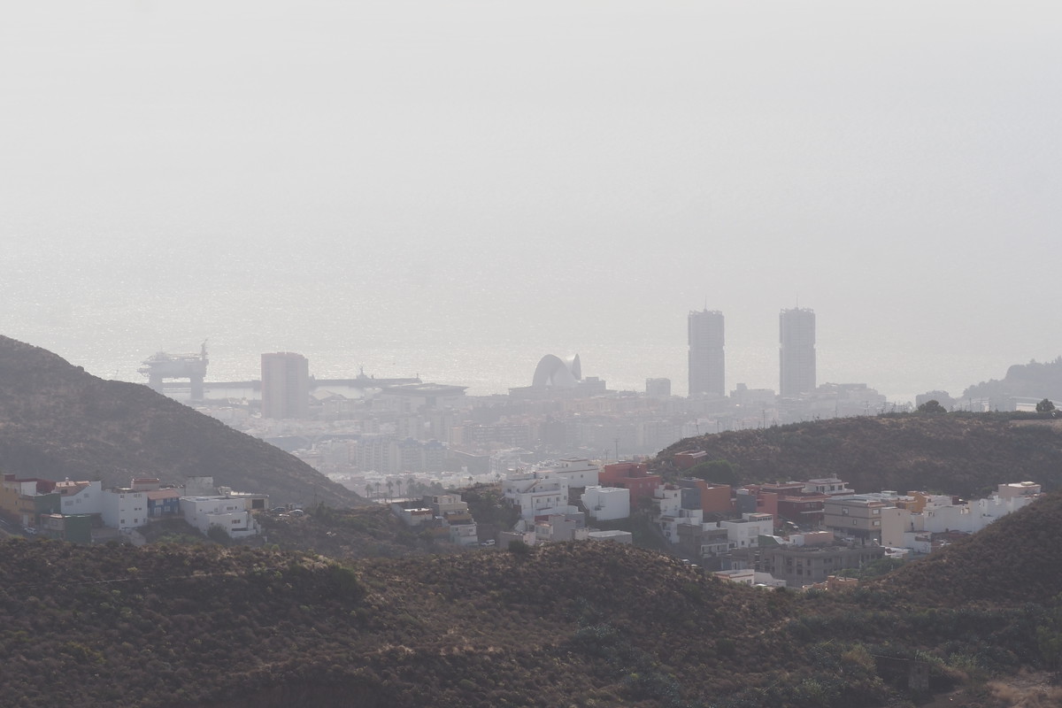
The first weekend of October will bring mostly stable weather, with high-altitude calima over the eastern islands and stronger gusts on exposed slopes.

La Palma is under a rain pre-alert this Thursday, with the heaviest downpours expected in the island’s northern and eastern mid-altitude areas.

The Canary Islands will remain warm, with light calima, possible inland showers, and temperatures reaching up to 30°C in some areas.

The Canary Islands will see a cloudy start to Monday with possible showers and high-altitude haze, before skies clear later while temperatures remain above 30°C in some areas.
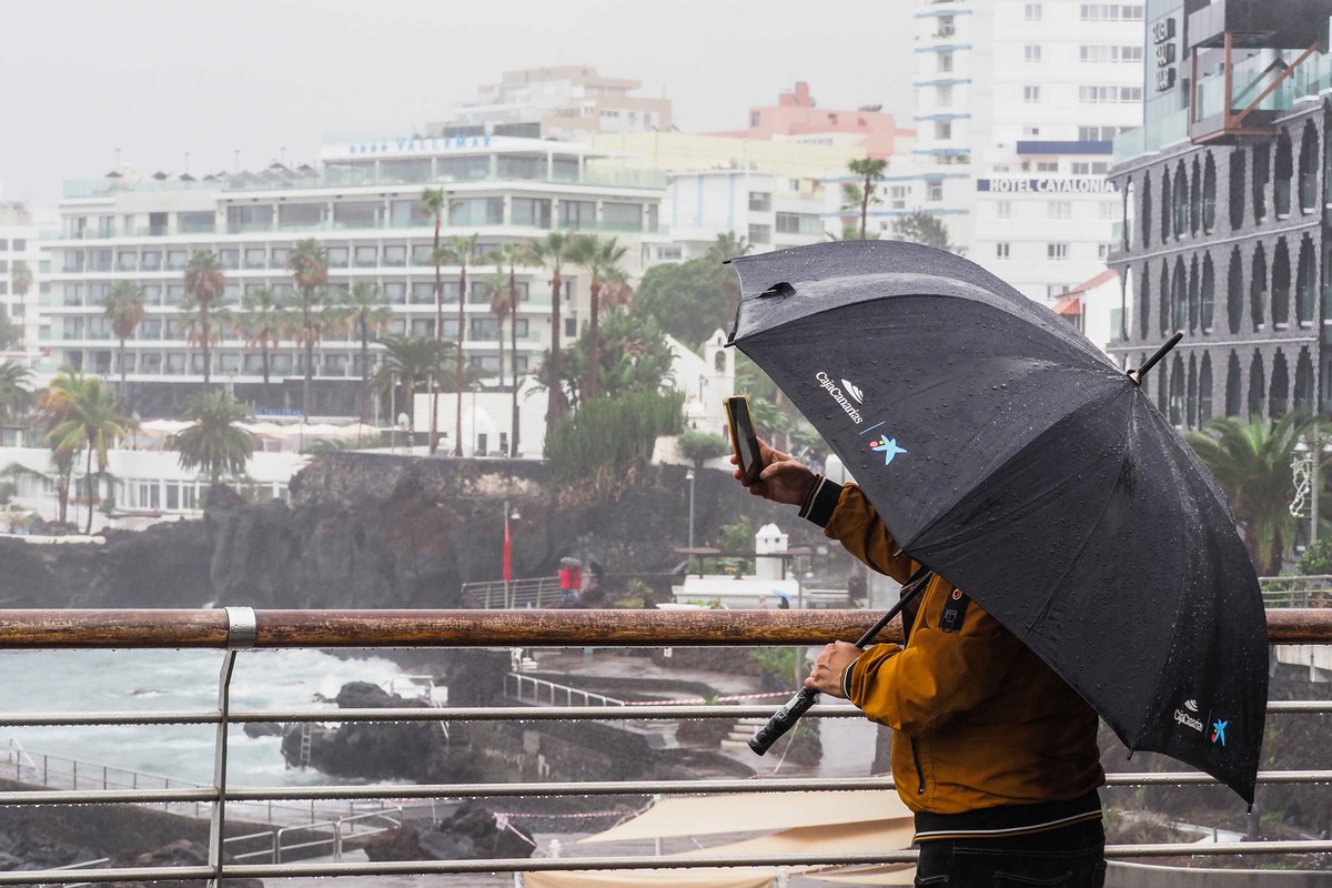
Unsettled weather linked to Gonzalo will continue into early Monday, before showers ease, haze fades and skies clear across much of the Canary Islands
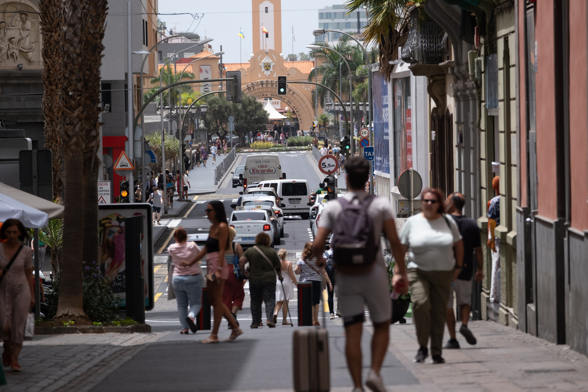
Gran Canaria will see the highest temperatures this Saturday, while calima, cloud cover and strong early wind gusts affect several parts of the Canary Islands.