


The State Meteorological Agency (Aemet) forecasts a variable start to the week across the Canary Islands, with changing skies, light haze at higher altitudes and the possibility of occasional rain in some areas. The unsettled conditions come as the archipelago begins to feel the first effects of a weather system that could intensify later in the week with the arrival of Storm ‘Samuel’.
Cloud cover increasing across several islands
According to the latest forecast, cloudy intervals will dominate much of the archipelago on Monday, although conditions will vary depending on location. During the morning, skies are expected to remain relatively clear in many areas, but cloud cover is likely to increase from midday onwards, particularly on the eastern and southern slopes of the islands.
In higher elevations, skies are expected to remain mostly clear or partly cloudy, although the presence of light haze at altitude could reduce visibility slightly. Forecasters also warn that light and occasional rainfall cannot be ruled out, mainly affecting the northern and eastern parts of the islands.
Temperatures remain largely stable
Despite the unstable outlook, temperatures are expected to remain relatively stable across the archipelago. Aemet predicts little overall change, although some areas may see slight variations.
Maximum temperatures could rise slightly in north-eastern areas, while minimum temperatures may increase marginally on the mountain peaks. Across the islands, values are expected to range from highs of around 22°C in Santa Cruz de Tenerife and San Sebastián de La Gomera to lows of about 11°C in Valverde on El Hierro.
Winds easing later in the day
Wind conditions will also play a role in Monday’s weather. Across much of the archipelago, easterly winds will blow at light to moderate strength, although they are expected to ease gradually from midday onwards. In contrast, the high peaks of Tenerife and La Palma will experience moderate south-westerly winds, creating different conditions at higher elevations.
Conditions at sea
Maritime conditions around the Canary Islands will also be affected by the changing weather pattern. Aemet forecasts north-easterly winds of force 5 to 6, which are expected to weaken later in the day to force 3 or 4.
Sea conditions will initially include moderate swell, gradually decreasing to a lighter swell as the day progresses. A northerly swell of between two and three metres is expected, easing to around one to two metres later in the day.
Weather forecast by island

Tenerife
Cloud cover is expected to become more persistent in the eastern and southern parts of the island from midday onwards, with a low probability of light rain in northern and eastern areas. Temperatures in Santa Cruz de Tenerife are forecast to range between 16°C and 22°C.
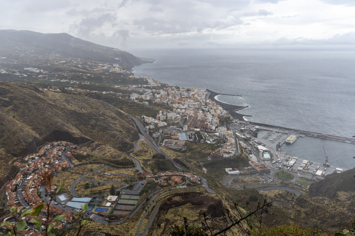
La Palma
Skies will be more overcast on the eastern slopes, with a slight chance of occasional rainfall. Minimum temperatures may drop slightly, particularly in higher areas. Santa Cruz de La Palma will see temperatures between 13°C and 21°C.
La Gomera and El Hierro
Both islands will experience periods of cloud with possible light rain, mainly in northern and eastern areas. Winds will be moderate during the early hours, gradually becoming light and variable later in the day.
Gran Canaria
Northern and eastern areas will begin the day cloudy, while the rest of the island will experience partly cloudy or mostly clear skies. Maximum temperatures may rise slightly in inland areas of the north. In Las Palmas de Gran Canaria, temperatures are expected to range between 16°C and 20°C.
Lanzarote and Fuerteventura
These eastern islands will see predominantly cloudy skies, although conditions may become partly cloudy during the afternoon. Light haze at higher altitudes is also possible. Temperatures will remain largely unchanged, with Arrecife ranging between 14°C and 21°C and Puerto del Rosario between 15°C and 20°C.
Storm ‘Samuel’ could bring more unstable weather later this week

Meteorologist Mario Picazo has warned that the formation of an Isolated Cold Low (BFA) off the coast of Portugal could lead to more unstable conditions across the Canary Islands in the coming days.
This system, which has been named Samuel, is expected to position itself between the Azores, Madeira and the Canary Islands, potentially bringing heavy and persistent rainfall to parts of the archipelago.
According to current weather models, the most significant impact is expected between Thursday and Saturday. Rainfall accumulations of 20 to 40 litres per square metre per day are forecast for islands such as La Palma, Tenerife and Gran Canaria.
In some areas of western La Palma and Tenerife, total rainfall by the end of the week could exceed 150 litres per square metre, raising the possibility of particularly wet conditions in those regions.
Possible snowfall on Mount Teide
The arrival of colder air at higher altitudes could also lead to snowfall on the highest peaks of Mount Teide. Forecast models suggest snow accumulations of around two to three centimetres may develop towards the weekend if temperatures drop sufficiently.
Overall, meteorologists warn that while Monday’s weather will remain relatively moderate, the archipelago could experience increasingly unstable conditions as the week progresses, with rain, wind and colder temperatures expected to intensify with the approach of Storm Samuel.