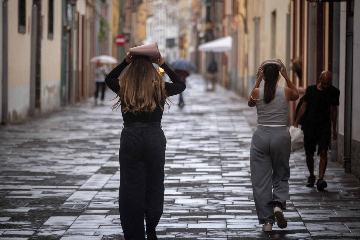




The Canary Islands are set to experience a gradual change in weather conditions this Thursday, 29 October, with temperatures beginning to fall in several areas and the possibility of light rain returning to parts of the archipelago.
According to the State Meteorological Agency (Aemet), the forecast points to intervals of high and low cloud, occasional showers and a slight decrease in temperatures, particularly in inland, western and southern areas.
Although the recent warm conditions will begin to ease, light calima is expected to persist, meaning suspended Saharan dust may continue to affect visibility in some locations. The most noticeable changes are expected in maximum temperatures, which could fall moderately in certain areas away from the coast.
Across the locations included in the forecast, temperatures will range from a maximum of 27°C in Tenerife to a minimum of 17°C on El Hierro. Winds will generally be light and variable, although stronger gusts are possible on the higher peaks of Tenerife.
Cooler temperatures and possible showers in Tenerife
Tenerife will experience intervals of high cloud throughout Thursday, accompanied by periods of low cloud, particularly in the north during the early morning and evening. As the day progresses, cloud cover may increase in inland and eastern areas, creating conditions favourable for occasional rainfall.
Aemet does not rule out light, scattered showers associated with this daytime cloud development. The showers are not expected to be widespread or continuous, but could affect certain inland locations as clouds become more developed.

Light calima will also remain present, although the main change in the weather will be the gradual easing of temperatures. Maximum temperatures are expected to fall slightly, with a more noticeable decrease possible in inland, western and southern areas.
In Santa Cruz de Tenerife, maximum temperatures are expected to reach around 27°C. The wind will generally be light and variable in direction, with coastal breezes prevailing during much of the day.
Towards the late afternoon, winds are expected to develop a northerly component. In higher areas, winds will blow from the west at light to moderate strength, although strong gusts may occur at times on the central mountain peaks.
Gran Canaria: increasing cloud and afternoon showers
Gran Canaria will also experience changing weather conditions, with intervals of high cloud and periods of low cloud affecting the island. Low cloud will be particularly noticeable in northern and eastern areas during the early morning and towards the end of the day.
During the middle of the day, cloud cover may develop over inland and eastern parts of the island. According to Aemet, this could lead to generally light, scattered and occasional rainfall, particularly during the afternoon. Some of the precipitation may take the form of showers as clouds build up over the island.
Although rainfall is possible, the forecast does not indicate that it will be widespread or persistent. Light calima may also remain present, contributing to hazy conditions in some areas. Temperatures will remain largely unchanged or fall slightly, with the most noticeable decreases expected in maximum temperatures across some inland, western and southern areas.
In Las Palmas de Gran Canaria, temperatures will range between a minimum of 22°C and a maximum of 25°C. The wind will be light and variable, with breezes along the coast. On the mountain peaks, winds will be light to moderate and predominantly westerly.
Lanzarote and Fuerteventura: cloudy intervals and light calima
The eastern islands of Lanzarote and Fuerteventura will also experience intervals of cloud throughout Thursday. According to Aemet, low cloud will be more prominent in northern and western areas during the early morning and late evening.
For the remainder of the day, high cloud will predominate, producing periods of hazy or partly cloudy skies. Light calima is also expected on both islands, although the forecast does not indicate a significant intensification of the suspended dust.

Temperatures will remain broadly stable or decrease slightly. The general forecast also allows for a more noticeable reduction in maximum temperatures in certain inland, western and southern areas of the archipelago. Unlike Tenerife and Gran Canaria, the forecast provided does not identify specific areas of Lanzarote or Fuerteventura where showers are expected.
When will temperatures start to fall in the Canary Islands?
The change towards cooler conditions is expected to become noticeable during Thursday, although the intensity of the temperature decrease will vary between locations. In many coastal areas, temperatures will remain relatively stable. Inland locations and areas along western and southern slopes may experience a more pronounced reduction in maximum temperatures.
The decrease will generally be slight, but could become moderate in some of these areas. The forecast therefore suggests a gradual easing of the recent warm conditions rather than an abrupt drop in temperatures across the entire archipelago. However, Aemet’s forecast for Thursday does not establish a specific date for the complete end of the warm spell.
Will the calima disappear?
Despite the expected decrease in temperatures, the calima will not disappear completely on Thursday. Aemet forecasts the continued presence of light suspended dust in parts of the Canary Islands.
On Tenerife and Gran Canaria, the haze will coincide with intervals of cloud and the possibility of occasional rainfall. Lanzarote and Fuerteventura will also experience generally light calima, together with periods of high and low cloud.
The intensity of the suspended dust is expected to remain limited, although conditions may differ between islands and locations. The continued presence of calima means that the arrival of cooler conditions and possible showers will not necessarily bring an immediate return to completely clear skies.
Light winds, but stronger gusts possible on mountain peaks

Wind conditions will remain relatively calm across much of the archipelago. Aemet expects light and variable winds, with breezes predominating in coastal areas. On Tenerife, the wind will tend towards a northerly direction during the late afternoon.
In higher areas, particularly on the mountain peaks, westerly winds will blow at light to moderate strength. Occasionally strong gusts are possible on the central peaks of Tenerife. On Gran Canaria, winds will also be light and variable at lower elevations, while the mountain summits will experience light to moderate westerly winds.
These conditions suggest that the strongest winds will be concentrated mainly at higher elevations rather than across the principal coastal towns.
A gradual change in the weather across the archipelago
Thursday’s forecast points to a transition towards slightly cooler and more unsettled conditions across parts of the Canary Islands. The most significant change will be the decrease in maximum temperatures, particularly in inland, western and southern areas.
At the same time, increasing cloud cover during the day could produce occasional showers on Tenerife and Gran Canaria. On Lanzarote and Fuerteventura, cloudy intervals and light calima will remain the main features of the weather.
Although the recent heat is expected to ease, the forecast indicates that the change will be gradual, with temperatures remaining relatively mild across much of the archipelago.
For the time being, Aemet anticipates a combination of slightly cooler conditions, lingering Saharan dust, variable cloud cover and the possibility of scattered rainfall, particularly in inland and eastern areas of the mountainous islands.