


The latest outlook from the State Meteorological Agency (AEMET) points to a more unsettled end to the week across the Canary Islands, with increasing cloud cover, light rainfall and notably strong winds expected to affect several parts of the archipelago, particularly in higher-altitude areas.
Cloud cover and light rain return to the northern slopes
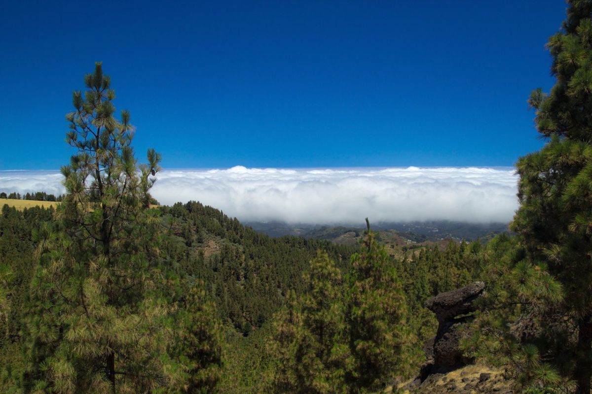
As the week progresses, skies across the islands will remain far from clear. AEMET forecasts predominantly cloudy conditions, especially along the northern slopes of the more mountainous islands, where the accumulation of moisture carried by the trade winds will favour the development of light but persistent rainfall.
Although these showers are not expected to be intense, they may become more continuous in certain areas, particularly in the north, while occasional rain cannot be ruled out elsewhere, especially during the afternoon hours.
Wind becomes the dominant factor

The most significant feature of this weather pattern will be the wind. Northerly winds will intensify over the coming days, reaching moderate levels across much of the archipelago but becoming considerably stronger in exposed areas.
Particular attention is advised in elevated zones, especially on the peaks of Tenerife, where very strong gusts are expected. These conditions may complicate outdoor activities and affect visibility and safety in high-altitude areas.
Thursday: cloud, light rain and strong gusts in exposed areas
On Thursday, 14 May, conditions will be characterised by widespread cloud cover across the northern parts of the main mountainous islands, including Gran Canaria, La Palma, La Gomera and El Hierro.
- Rainfall: Light and occasional rain is likely in the north, with a lower probability of showers spreading to other areas during the afternoon.
- Wind: Moderate northerly winds will prevail, with strong gusts expected along the eastern and north-western slopes. In the central peaks of Tenerife, gusts could become very strong, particularly in the early hours of the day.
- Temperatures: Little change is expected, with minimum temperatures around 18°C and highs between 22°C and 23°C in the main urban areas.
Friday: persistent rain in the north and continued strong winds

By Friday, 15 May, the weather pattern will remain similar, though rainfall may become slightly more persistent in certain areas.
- Rainfall: Northern regions of the mountainous islands will continue to see cloudy skies accompanied by light but steady rain. Elsewhere, occasional showers remain possible.
- Wind: Northerly winds will persist, with very strong gusts continuing on exposed slopes and high ground. In contrast, the southern and south-western coasts will experience lighter breezes.
- Temperatures: Values will remain stable, with no significant fluctuations. In Santa Cruz de Tenerife, minimum temperatures will be around 17°C, while in Las Palmas de Gran Canaria, they will remain close to 18°C.
A windy and unsettled end to the week
Overall, the Canary Islands are heading into a period of increased atmospheric activity, marked by cloudier skies, intermittent rainfall and, most notably, strong winds in elevated and exposed areas. While conditions will remain relatively mild, the combination of wind and cloud cover will create a more unsettled environment compared to the stable weather seen earlier in the week.