


A new Atlantic squall is expected to bring rainfall across vast areas of the country until Thursday, when it will primarily affect the northern part of the Spain’s mainland, as forecasted by Rubén del Campo, spokesperson for the State Meteorological Agency (Aemet).
The squall will also cause temperatures to remain unseasonably low through Thursday. On Wednesday, temperatures could drop to as much as 10 degrees below the seasonal average in many western regions and parts of the southern part of Spain’s mainland. In the northern third and western cities, temperatures are expected to stay below 15 degrees Celsius.
While the Mediterranean area sees a decrease in instability, another Atlantic squall is set to approach. Del Campo warns of starting the day with rain and showers, which are expected to lessen as the day goes on.

By Wednesday, the influence of low pressure will persist over the Spain’s mainland, leading to widespread rainfall, potentially accompanied by thunderstorms. Snowfall is anticipated from 900 meters in the northwest and between 1,000 to 1,500 meters in the rest of the northern half. More than five centimeters of new snow could accumulate in the Cantabrian Mountains and the Pyrenees by May 1.
On Thursday, Spain will continue under low pressure but with a gradual shift towards stability. The afternoon may see thundery showers develop across large parts of the northern half, accompanied by cold and frosty conditions at dawn, affecting not only mountain areas but also the northern plateau and central moorlands. Temperatures are expected to rise in the afternoon in the northeast, with little change elsewhere.
By Friday, Del Campo suggests that anticyclonic conditions are likely to start dominating. However, thundery showers may reoccur in the north of the Spain’s mainland during the day.

Over the weekend, rain will mostly be confined to the far north of the Spain’s mainland, though occasional showers cannot be ruled out in other areas due to prevailing uncertainties. Meanwhile, temperatures will notably rise, creating a milder atmosphere. Despite the cold start to Friday, with frosts in mountainous regions, the frosts are expected to diminish by the weekend.
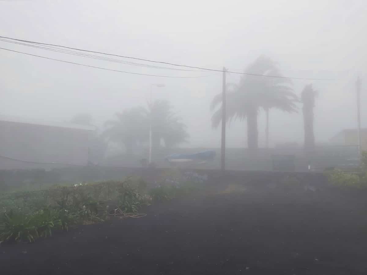
In the Canary Islands, trade winds will dominate the weather over the next few days, intensifying throughout the week. By Wednesday or Thursday, these winds might cause strong or very strong gusts, bringing clouds to the northern, more mountainous islands, resulting in light rainfall and cloudy intervals elsewhere. A slight rise in temperatures is also forecasted, with coastal areas seeing daytime temperatures between 23 and 25 degrees Celsius.

