


The Canary Islands are facing an unusually intense spell of weather this Saturday, with forecasters warning of a sharp and atypical rise in temperatures across the archipelago. The AEMET has described the situation as “abnormal” for this time of year, highlighting a combination of extreme heat, Saharan dust and gusty winds that will create challenging conditions throughout the day.
Temperatures surge well above seasonal norms
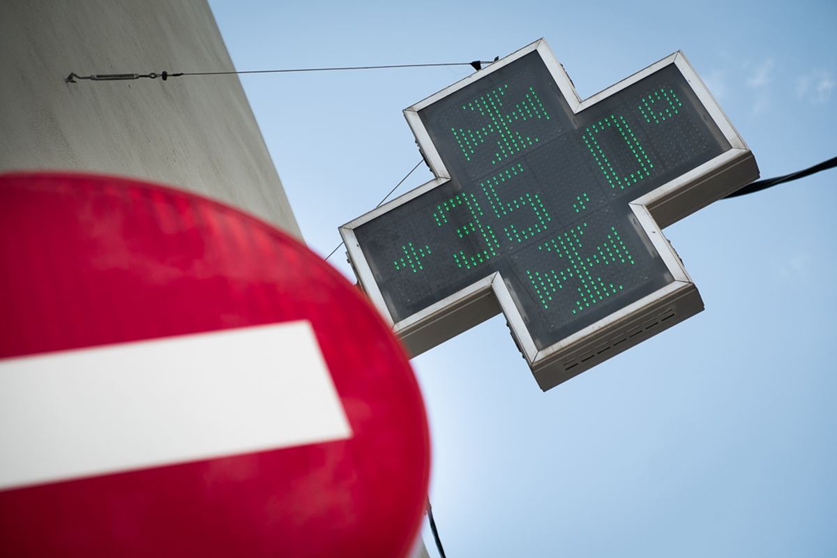
According to the latest forecasts, temperatures are set to climb significantly, reaching levels far more typical of mid-summer than spring. In many parts of the islands, particularly inland and in mid-altitude areas, the 30°C threshold will be widely exceeded, with localised peaks of up to 34°C.
In the capital cities, conditions will be slightly less extreme but still notably warm. Santa Cruz de Tenerife is expected to see highs of around 29°C, while Las Palmas de Gran Canaria will register approximately 27°C. However, the most intense heat will be felt away from the coast, especially on western slopes and interior zones, where the influence of the hot air mass will be strongest.
Meteorologists have characterised this temperature spike as both “notable” and “extraordinary”, underlining how far it deviates from the typical April climate in the Canary Islands.
Calima and wind amplify the impact
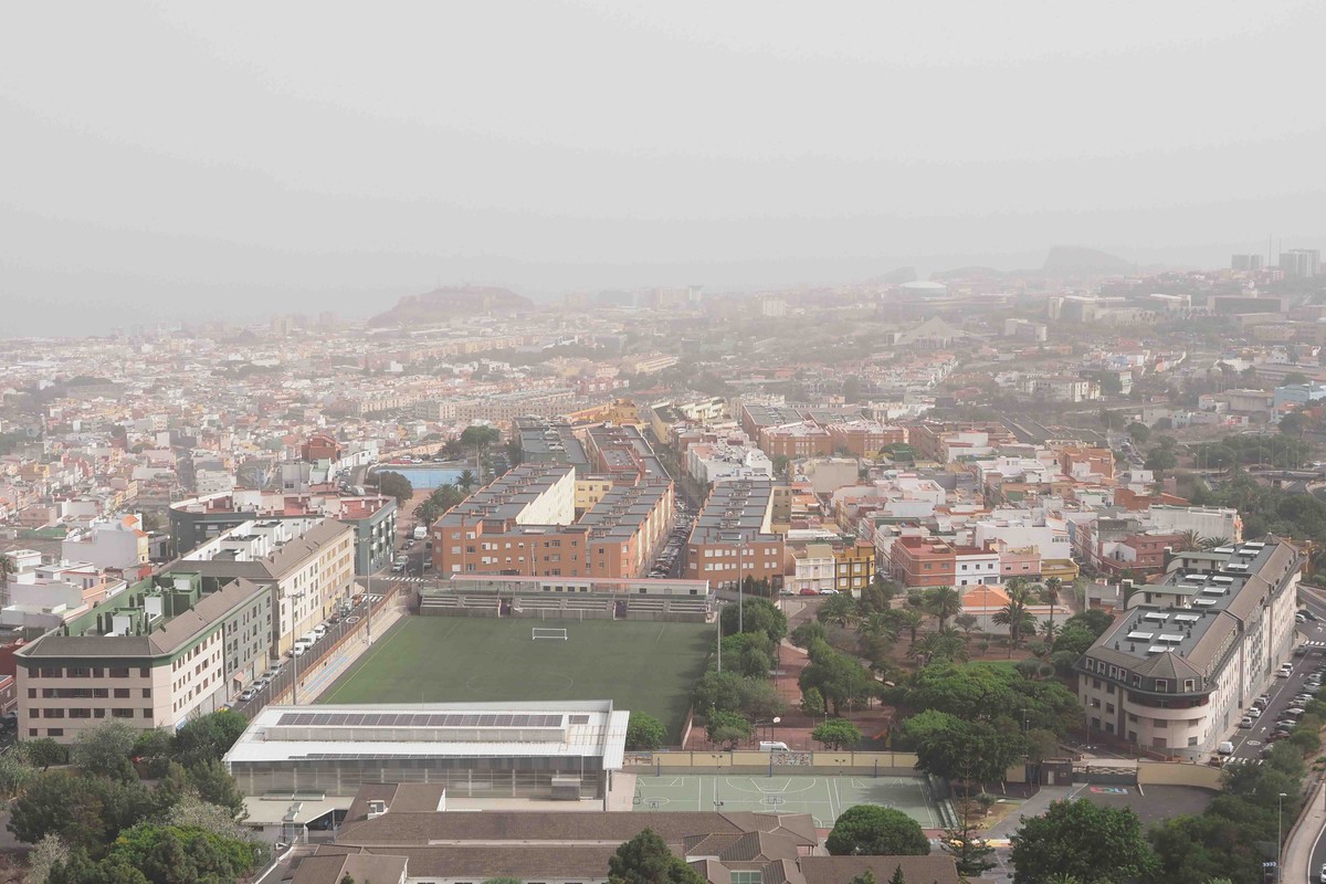
What makes this episode particularly striking is not just the heat itself, but the convergence of multiple adverse factors. Alongside soaring temperatures, a layer of calima—fine dust transported from the Sahara—will spread across the islands, especially during the second half of the day. This will reduce visibility, degrade air quality and intensify the sensation of heat.
Winds will further complicate the situation. The forecast points to easterly to southerly flows, with intervals of strong gusts. In elevated areas, particularly on islands such as Tenerife and Gran Canaria, very strong gusts are possible, increasing the risk for outdoor activities and travel in exposed locations.
At sea, conditions will also deteriorate, with winds reaching force 4 to 6 and generating moderate to rough swells, potentially affecting maritime operations.
Island-by-island outlook

- Lanzarote and Fuerteventura: A marked rise in temperatures is expected, especially on western and inland areas, where readings could exceed 30°C and locally reach 34°C. The calima will become more pronounced as the day progresses.
- Gran Canaria: Mid-altitude zones and the south-western coasts will bear the brunt of the heat, with temperatures potentially peaking at 34°C in western areas. There is also a slight possibility of cloud development leading to isolated showers or even scattered thunderstorms.
- Tenerife: The island will experience a significant temperature increase, particularly on northern and south-western slopes. Western midlands are likely to be the hottest areas, again approaching 34°C. Strong southerly winds on the peaks will be a key factor to monitor.
- La Palma, La Gomera and El Hierro: While somewhat less affected, these islands will still see temperatures rise to around 30°C in mid-altitude areas, with calima present at higher elevations during the afternoon.
Authorities urge caution

Given the combination of heat, dust and wind, authorities are advising residents and visitors to take precautions. Staying well hydrated, avoiding strenuous activity during the hottest hours of the day, and paying particular attention to vulnerable groups—such as children, the elderly and those with respiratory conditions—are strongly recommended.
For individuals sensitive to poor air quality, especially those with chronic respiratory issues, it is advisable to keep doors and windows closed during periods of intense calima.
A sudden shift from mild to extreme conditions
This abrupt change marks a clear departure from the more moderate weather seen in recent days. The Canary Islands now face a Saturday defined by stark contrasts, where sunshine, Saharan dust and intense heat combine to create an unusually harsh environment for April.
Meteorologists will continue to monitor developments closely, particularly regarding wind strength in high-altitude areas and any further fluctuations in temperature as the situation evolves.