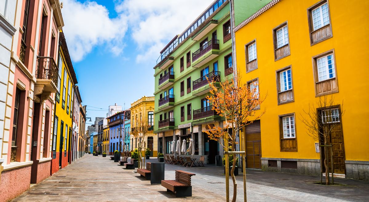


The State Meteorological Agency (Aemet) has updated its weather forecast for the Canary Islands for this Thursday, 21 May 2026, warning of a mixed day across the Archipelago. Although clear skies will dominate in many areas, cloud cover is expected during the early hours, especially in the north of the islands, where occasional drizzle has not been ruled out.
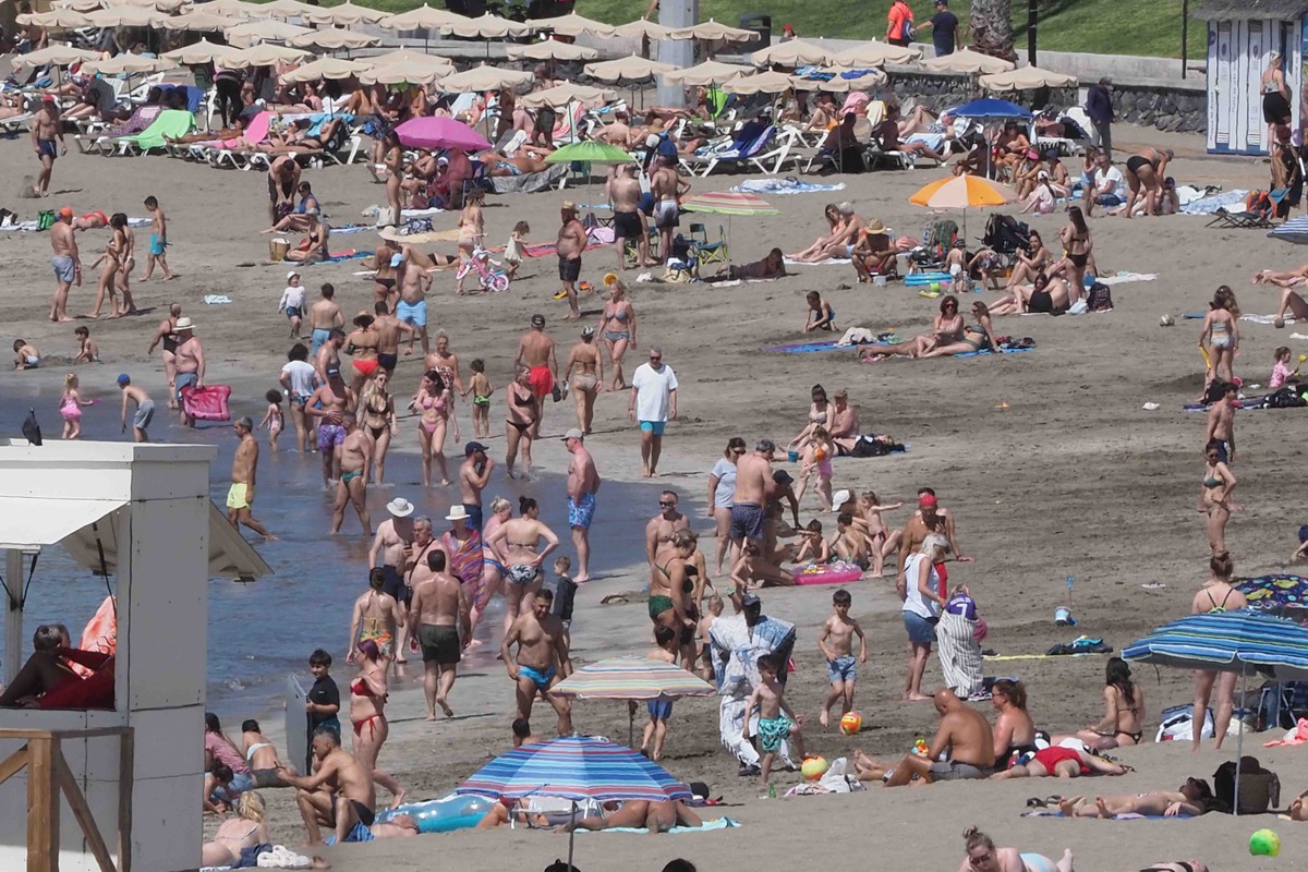
At the same time, temperatures will remain stable or rise slightly across most of the islands. The most notable increases are expected on the eastern and southern slopes of the eastern islands, where thermometers could locally reach 30°C.
In the provincial capitals, Santa Cruz de Tenerife is expected to record a high of 24°C and a low of 18°C, while Las Palmas de Gran Canaria will range between 19°C and 23°C.
Moderate to strong northerly winds

Wind will also play an important role in Thursday’s weather. According to Aemet, it will blow moderately from the north to northwest, although stronger intervals are expected towards the end of the day.
The strongest winds are likely in the far northwest, south and east of the islands, where exposed areas could see very strong gusts at times. These conditions may be especially noticeable in mountain areas, slopes and zones where the terrain accelerates the wind.
At sea, northerly or northeasterly winds of force 3 to 5 are expected, with slight to moderate swell. A northerly or northwesterly ground swell will bring waves of between 1 and 2 metres.
Tenerife: clouds in the north and strong gusts later in the day

In Tenerife, cloudy skies are expected in the north below around 800 to 900 metres, with the possibility of occasional drizzle during the early hours, especially in mid-altitude areas. Wider sunny spells should open up during the middle of the day.
The rest of the island will be mostly clear, although the south may see some morning cloud intervals. Maximum temperatures will fall slightly in low-lying northeastern areas.
The wind will blow from the north to northwest, with strong intervals expected late in the day in the northwest and on the southern slope of Anaga, where very strong gusts cannot be ruled out.
Gran Canaria: cloudy north and possible early drizzle

In Gran Canaria, the north of the island will be cloudy below 700 to 800 metres, with possible drizzle during the early hours in mid-altitude areas. Clearer skies are expected around midday.
The rest of the island will remain mostly clear, although the south may see some morning cloud intervals. Temperatures will remain stable or rise slightly.
The wind will be moderate from the north, later turning northwesterly, with strong intervals on the eastern and western slopes during the second half of the day.
Lanzarote and Fuerteventura: rising temperatures and light haze

In Lanzarote and Fuerteventura, cloudy skies are expected in the north and west during the first part of the day, gradually clearing by the afternoon. Elsewhere, skies will be mostly clear.
Aemet also forecasts light haze at altitude, particularly over the eastern islands. Maximum temperatures will rise slightly and could locally reach 30°C in eastern and southern areas.
The wind will blow moderately from the northwest, with strong intervals inland and in southern areas during the afternoon and evening.
La Palma: cloudy north and clearer skies later

In La Palma, cloud cover is expected in the north below 900 to 1,000 metres, with a chance of occasional early-morning drizzle. Clearer spells should appear during the middle of the day.
Elsewhere on the island, skies will be mostly clear, with some morning cloud intervals in western areas. Minimum temperatures will rise slightly in mid-altitude zones.
The wind will be moderate from the north, with strong intervals in the eastern and western extremes of the island during the afternoon.
La Gomera and El Hierro: northern clouds and strong wind intervals

In La Gomera, cloudy skies are expected in the north below 900 metres, giving way to clearer spells around midday. The wind will blow from the north, with strong intervals in the east and northwest of the island.
In El Hierro, northern cloud intervals will gradually give way to clearer skies. Northeasterly winds will be moderate, with strong intervals in the southeast and west.
Minimum temperatures will rise slightly in the higher areas of both islands. The lowest temperature in the Canary Islands is expected in Valverde, where the minimum will stand at around 14°C.
Overall, Thursday will bring a typical contrast-filled Canary Islands weather pattern: warmer conditions in parts of the east and south, lingering cloud and drizzle in northern areas, light haze at altitude in the eastern islands and stronger winds in exposed zones.