


The Canary Islands will close May with cloudy skies in the north, some light drizzle and strong trade-wind gusts, before the start of June brings clearer skies and a notable rise in temperatures, especially in Tenerife, Gran Canaria, Lanzarote and Fuerteventura.
The weather in the Canary Islands is set to change again as the Archipelago moves from the final days of May into the beginning of June. According to the forecast from the State Meteorological Agency (Aemet), the islands will first remain under the influence of the trade winds, with cloudier conditions in the north and occasional light rain, before temperatures rise noticeably at the start of the new month.
The transition will be especially clear between Sunday, 31 May, and Monday, 1 June. While Sunday will still bring a typical trade-wind pattern, with more cloud in the northern areas of the higher islands and stronger gusts in exposed zones, Monday will mark the arrival of a warmer and more summery weather pattern. Temperatures are expected to exceed 30°C locally in several areas, particularly in inland parts of the southern slopes of Tenerife and across parts of the province of Las Palmas.
Sunday: clouds in the north and occasional drizzle
The final day of May will be marked by a clear contrast between the northern and southern sides of the mountainous islands.
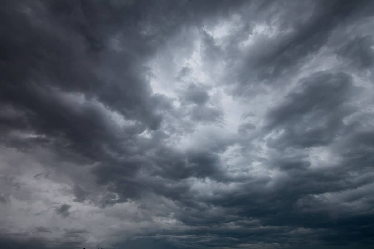
In the north of the higher islands, cloudy skies will predominate below approximately 800 to 1,000 metres. In these areas, especially in mid-altitude zones, Aemet does not rule out occasional light drizzle during the early hours of the day.
However, the cloud cover is not expected to remain unchanged throughout the day. During the middle hours, clearer spells should open up, allowing some sunshine to break through in several northern areas.

On the southern slopes of the higher islands, conditions will be much brighter. Skies there are expected to be partly cloudy or mostly clear, with more stable and sunnier conditions than in the north.
Lanzarote and Fuerteventura: cloudy start, brighter later
On the eastern islands, Lanzarote and Fuerteventura, the day will begin with cloudy spells, especially during the morning. As the day progresses, the clouds are expected to break up, giving way to clearer skies during the middle hours.
This will leave the eastern islands with a generally improving weather pattern through Sunday, although the influence of the trade winds will still be noticeable.
Temperatures stable or slightly higher
Temperatures on Sunday will remain largely unchanged compared with previous days, although slight increases are possible in some areas.
The day will not yet bring the more pronounced heat expected at the start of June, but it will mark the beginning of a gradual shift towards warmer conditions.
Strong gusts on exposed slopes
The wind will continue to be a key feature of the weather on Sunday. Moderate north-easterly trade winds are expected across the Canary Islands.
The strongest gusts will affect the north-western and south-eastern slopes of the higher islands, where the terrain can accelerate the wind. Aemet indicates that there is a low probability of locally very strong gusts, particularly during the afternoon.
On the south-western coasts, breezes will predominate, bringing calmer conditions compared with the more exposed slopes and higher areas.
Monday: June begins with a rise in temperatures
The start of June will bring a more noticeable change in the weather. On Monday, 1 June, cloud cover will decrease across much of the Archipelago and temperatures will rise slightly to moderately.
Aemet forecasts generally clear or partly cloudy skies across the Canary Islands. The only exception will be some cloudy intervals during the night in low-lying areas of the northern sides of the mountainous islands.
The main feature of the day, however, will be the rise in temperatures. This increase will be most noticeable inland, where the heat will build more easily during the central hours of the day.
Tenerife, Gran Canaria, Lanzarote and Fuerteventura may exceed 30°C

Aemet warns that temperatures may locally exceed 30°C in several areas of the Canary Islands on Monday. In Tenerife, the highest values are expected in inland areas on the southern slopes, where thermometers may rise above 30°C.
In the province of Las Palmas, the rise will also be significant. Temperatures may exceed 30°C on the southern slopes of Gran Canaria, as well as in parts of Fuerteventura and Lanzarote.
This will give the start of June a distinctly summery feel, especially in inland areas and on slopes exposed to stronger sunshine.
Trade winds remain, with strong gusts possible
Despite the rise in temperatures, the trade winds will continue to blow across the Archipelago. Aemet forecasts moderate north-easterly winds, with stronger intervals once again expected in the most exposed areas.
The north-western and south-eastern extremes of the higher islands will be the areas most likely to experience strong winds. The risk of occasionally very strong gusts will increase mainly from the afternoon onwards.
Meanwhile, breezes will continue to affect the south-western coasts, helping to moderate conditions locally.
Overall, the Canary Islands will move from a cloudier and windier end to May into a warmer and clearer start to June. Northern areas will still see some cloud and possible drizzle on Sunday, but Monday will bring a clear rise in temperatures, with several islands likely to exceed 30°C as the Archipelago enters a more summery weather pattern.