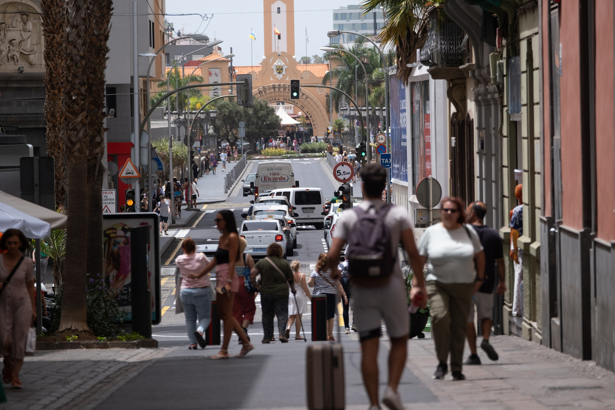



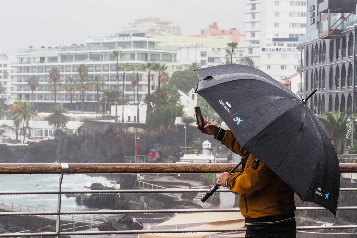
The Canary Islands will continue to feel the effects of unstable weather over the next few hours, after a Sunday marked by cloud cover, humidity and occasional rainfall linked to the moisture associated with Gonzalo.
Although Gonzalo no longer remains a tropical cyclone, its associated humidity has helped increase cloudiness across the archipelago. The latest forecast points to more unsettled conditions during the night and early on Monday, with occasional showers, a chance of isolated thunderstorms and a further slight drop in temperatures.
As Monday progresses, however, the general trend will be towards more stable weather, with cloud cover clearing over much of the Canary Islands.
Gonzalo ceased to be a tropical cyclone on Saturday. The National Hurricane Centre issued its final advisory when the system was located north of Cape Verde, already classified as a post-tropical cyclone and weakening. Its centre did not pass over the Canary Islands, but the moisture associated with the system has influenced the weather on the islands.
Rainfall has already been recorded in several parts of the archipelago this Sunday. In Tenerife, Izaña registered 0.4 litres per square metre at 9:00 a.m., with a temperature of just 8.7°C and relative humidity of 95%. In Gran Canaria, the Lomo Pedro Alfonso station also recorded 0.4 litres per square metre during the morning.
Possible rain and isolated storms in the early hours
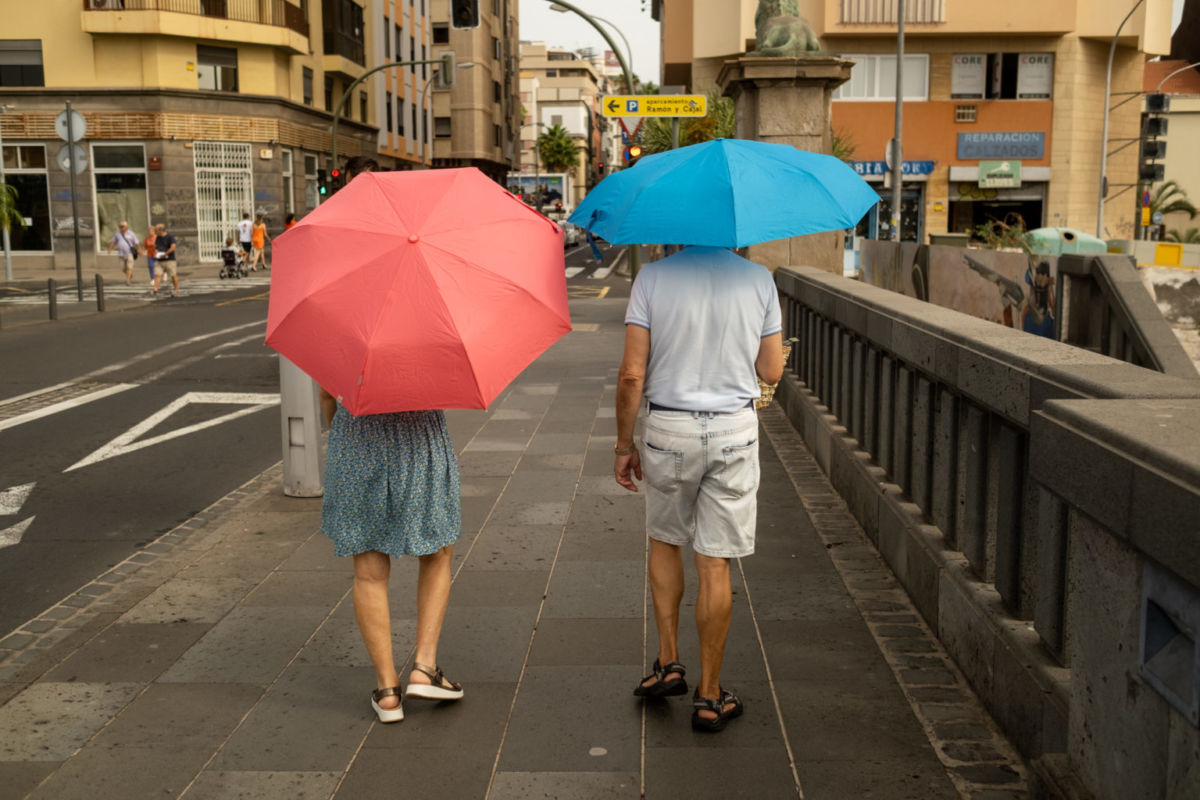
The forecast for Monday, 28 September, indicates that some instability will continue during the early hours of the day. Cloudy spells are expected during the first half of the day, with the possibility of occasional showers in parts of the archipelago.
In the early hours, it cannot be ruled out that some of these showers may be accompanied by isolated thunderstorms. However, the weather is expected to improve gradually as Monday advances. The general trend will be towards less cloudy or clear skies across much of the Canary Islands.
In Tenerife, cloudy spells during the early hours will gradually give way to partly cloudy or clear skies. Even so, during the afternoon, cumuliform clouds are expected to develop in inland areas, where occasional rainfall may still occur.
La Palma may also see occasional rain during the early hours, although the probability remains low. Cloud cover is expected to increase again in inland areas during the afternoon. The forecast also does not rule out the possibility of a thunderstorm in the early hours.
Temperatures fall, but may still reach 30°C
Temperatures will also continue to change as the week begins. A slight drop is expected, especially in maximum temperatures along the southern and western coastal areas of the islands.
Even so, the heat will not disappear completely. Locally, temperatures may still reach or exceed 30°C in some mid-altitude and coastal areas. The contrast in temperatures has already been clear this Sunday. While Izaña recorded values below 9°C during the morning, Adeje reached 27.8°C at 2:00 p.m.
Despite these still-warm values in some areas, the situation is now far from the high-temperature episode experienced over recent days. That episode led the Canary Islands Government to keep the pre-alert for high temperatures in force until 8:00 p.m. on Saturday.
Haze gradually clears
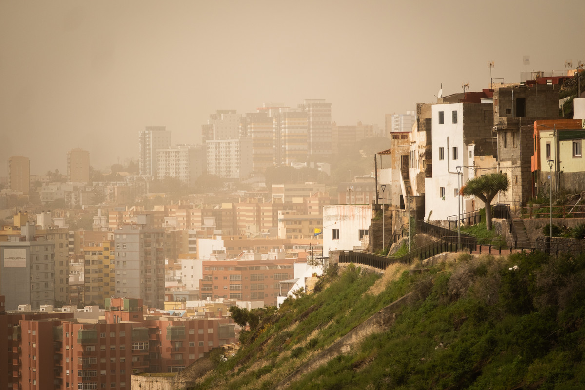
Another change expected on Monday will be the gradual reduction of haze. High-altitude haze may still be visible at first, but it is expected to diminish as the day progresses. The wind will generally be light and easterly, with coastal breezes prevailing in many areas. On the peaks, the wind will be light and westerly.
As for sea conditions, Aemet has not issued any coastal warnings up to midday on Monday. The forecast includes a north-westerly swell of between one and two metres in parts of the north and east of the western islands. Showers are also expected in waters near La Palma and, until the evening, around El Hierro.
A gradual return to more stable weather
After the influence of the moisture associated with Gonzalo, the Canary Islands will begin the week with some remaining instability. Occasional showers may still occur, especially during the night and early hours of Monday, and isolated thunderstorms cannot be ruled out in some areas.
However, the overall trend will be towards improvement. Temperatures will ease slightly, haze will gradually diminish and skies will become clearer across much of the archipelago as Monday progresses.
The start of the week will therefore bring a transition from the unsettled conditions linked to Gonzalo towards a more stable weather pattern across the Canary Islands.