


The Canary Islands are heading into a week marked by sharp contrasts in weather, as a transition from recent hazy and warm conditions gives way to a more unstable and dynamic pattern. After several days dominated by calima, rising temperatures and gusty winds, meteorological models now point to the arrival of a trough and an associated low-pressure system moving in from the Atlantic, which will significantly alter conditions across the archipelago from Thursday onwards.
Saharan dust and storm systems combine to produce muddy rainfall
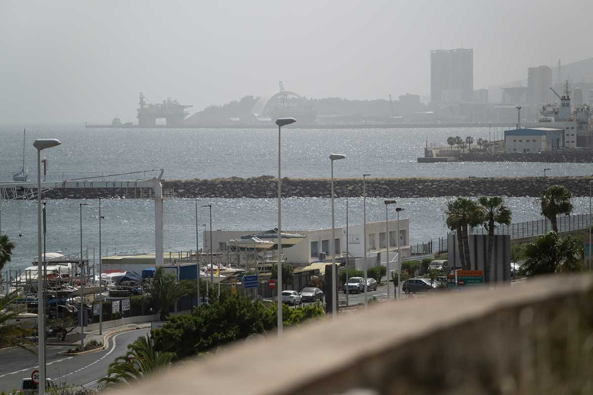
According to forecasts by Meteored, a strong southerly airflow at mid-levels of the atmosphere is continuing to transport suspended dust from North Africa towards the islands. This influx of calima is expected to coincide with the development of convective storm clouds, creating the ideal conditions for so-called “mud rain”.
In practical terms, this means that any precipitation falling over the Canary Islands may carry dust particles, leaving visible residues on cars, buildings and outdoor surfaces. These deposits are most likely to occur from around midday onwards, when atmospheric instability peaks and storm activity becomes more pronounced.
Mountainous islands to bear the brunt: hail and strong winds possible
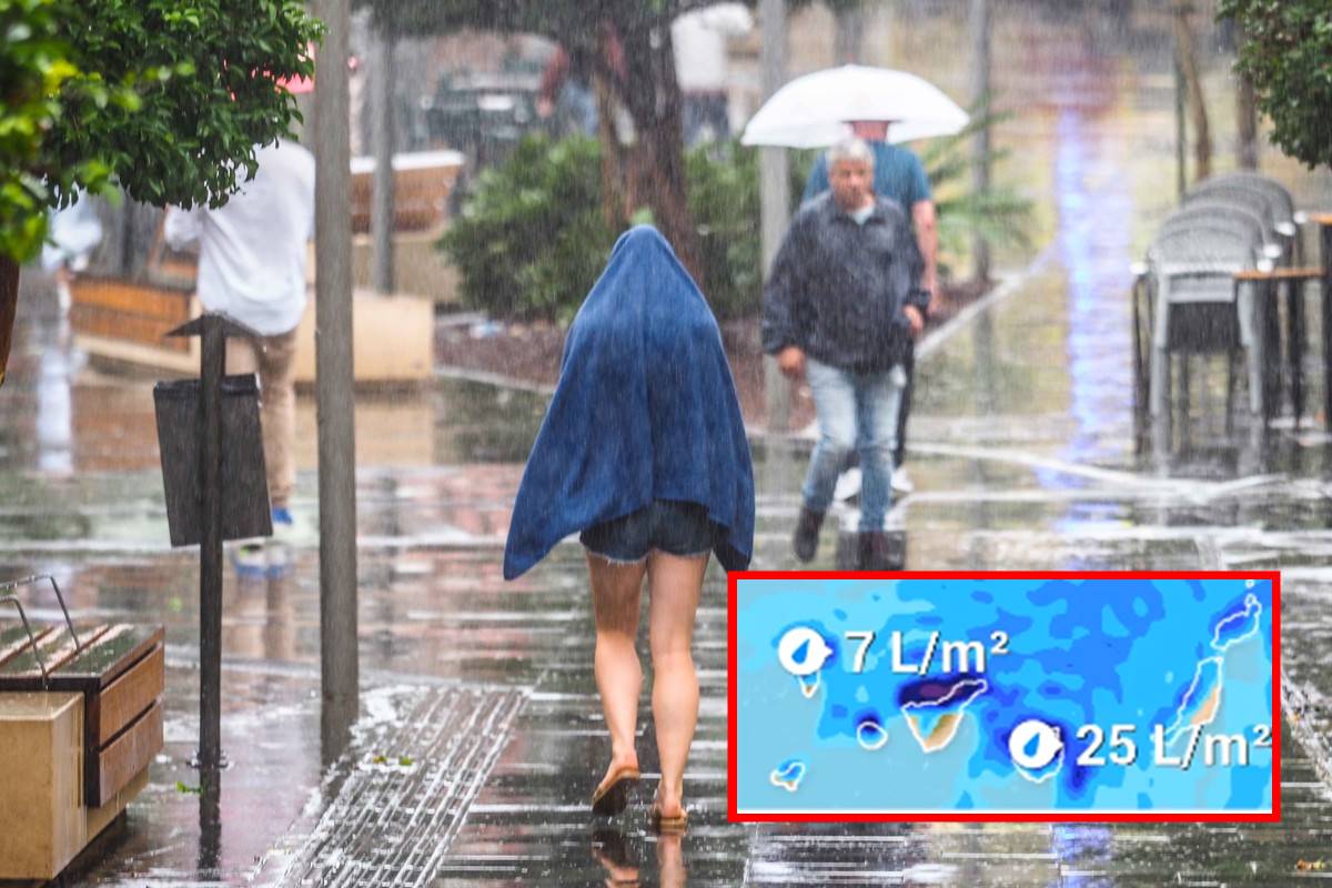
Although the unstable weather will not affect all areas equally, the islands with more pronounced relief—namely Tenerife, La Palma, La Gomera and Gran Canaria—are expected to experience the most significant impacts. In these areas, the formation of vertically developed storm clouds could lead to short but intense downpours.
Meteorologists warn that these storm cells may also bring adverse phenomena such as localised hail and strong wind gusts, which in exposed high-altitude areas could exceed 70 km/h. These conditions may pose risks for outdoor activities and require increased caution, particularly in mountainous terrain.
A trough anchored west of the peninsula drives instability
The root of this weather shift lies in a trough positioned to the west of the Iberian Peninsula, which is expected to remain relatively stationary. This configuration allows successive pulses of instability to reach the Canary Islands directly.
As a result, rainfall distribution is likely to be highly irregular. While some areas may see little or no precipitation, others could experience intense bursts of rain within a very short period. This raises the risk of sudden water accumulation, including localised flooding and rapid rises in water levels in ravines.
Increasing instability from Thursday onwards
From Thursday, forecast confidence improves, pointing towards a higher likelihood of significant storm activity. The potential formation of a small isolated upper-level depression (DANA) embedded within the trough would further enhance atmospheric instability, increasing the probability of heavy showers and storm development.
During the mornings, skies may remain partly cloudy with lingering haze. However, as the day progresses, the heat accumulated near the surface will act as a trigger for cloud formation, leading to storm development from midday onwards. This daily cycle is characteristic of convective weather patterns and signals the onset of a more active spring phase in Spain’s meteorological calendar.
Transition towards a more volatile spring pattern
This evolving situation marks a clear departure from the more stable conditions observed in recent weeks. The Canary Islands are entering a period where calm, hazy mornings may give way to stormy afternoons, reflecting a broader seasonal shift towards more energetic and unpredictable weather patterns.
Meteorological services will continue to monitor developments closely, as the precise intensity and distribution of rainfall and storms remain subject to change in the coming days.